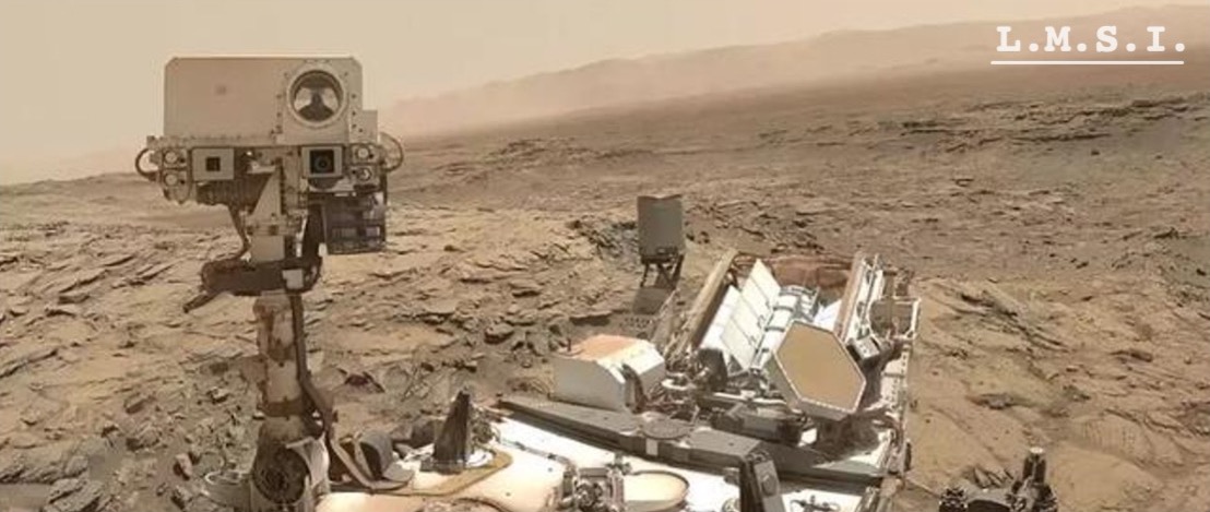
Mars32k dataset

Mars32k:火星数据集1
https://dominikschmidt.xyz/mars32k/
#Unsupervised
- 发布者:NASA/JPL-Caltech
- 发布日期:2018.11
- 样本数:32368
- 分辨率:560x500
| sample data | |
|---|---|
 |  |
 |  |
 |  |
 |  |
 |  |
 |  |
 |  |
 |  |
This dataset consists of about 32,000 color images collected by the Curiosity rover on Mars between August 2012 and November 2018. The images show various geographical and geological features of Mars such as mountains and valleys, craters, dunes and rocky terrain. All images have been scaled down using linear interpolation to 560x500px (some images have been cropped). The dataset is intended for unsupervised learning and the images are only labeled with the date they were taken on. This dataset only contains photos taken with Curiosity’s Mastcam camera and all grayscale or other images were removed.
目录
| |
备注
数据集中的图像并非原始分辨率,都经过了线性插值,统一调整为560×500px,这些图片显示了火星的各种地理和地质特征,如山脉和山谷,陨石坑,沙丘和岩石地形。该数据集可用于一些计算机图像任务,比如于物体检测模型的训练、模拟仿真3D火星表面模型的搭建,还能作为天文学科科普所用。